| Namespace | http://www.ptv.de/com/ptvag/xserver/engines/xpoidbaccess | ||||||||||||||||||||
|
Annotations
|
|
||||||||||||||||||||
|
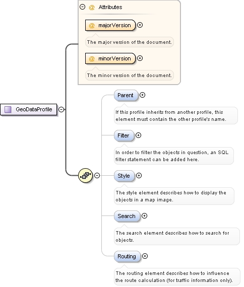
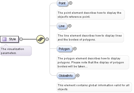
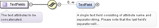
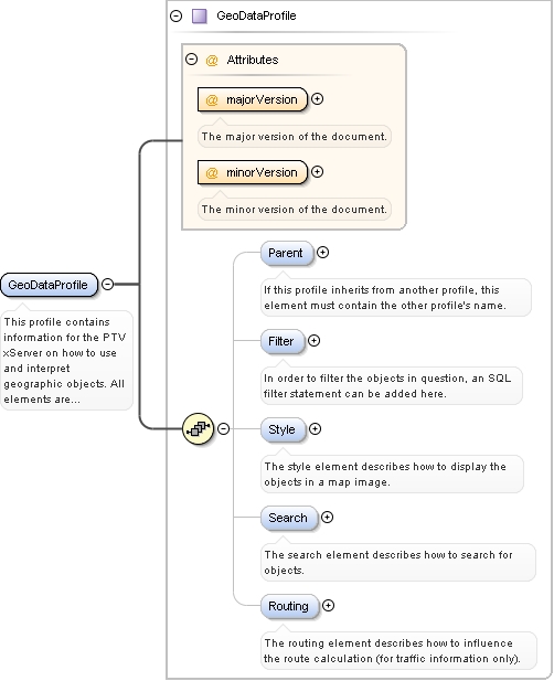
Diagram
|
 |
||||||||||||||||||||
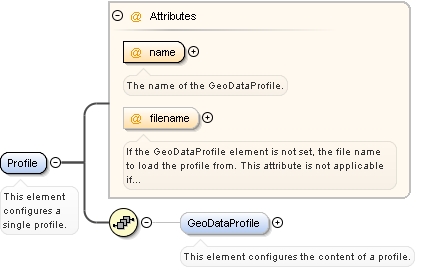
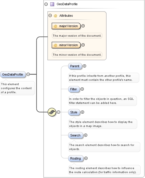
| Type | GeoDataProfile | ||||||||||||||||||||
|
Properties
|
|
||||||||||||||||||||
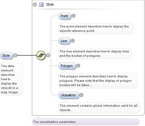
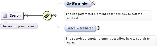
| Model | Parent{0,1} , Filter{0,1} , Style{0,1} , Search{0,1} , Routing{0,1} | ||||||||||||||||||||
| Children | Filter, Parent, Routing, Search, Style | ||||||||||||||||||||
|
Instance
|
|
||||||||||||||||||||
|
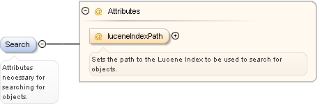
Attributes
|
|