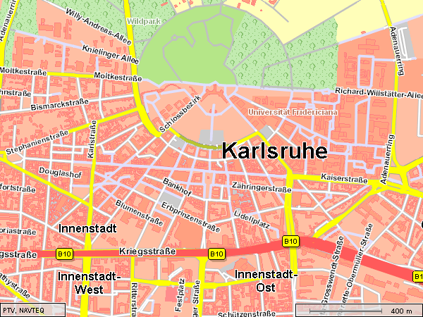
You are able to display footprints of buildings with the current PTV xMap Server. This means that not only regions covered with buildings are displayed, but also the actual footprint of each building can be included in the map.
Start PTV xMap Server
Set the profile "footprint" into the CallerContext
The building files were automatically placed into the map folders during the setup
In order to enable the footprints of buildings you just have to select the profile footprints. If you have already chosen a default profile, you might add the following line into your .properties file:
map.profile=footprints.ini
Or simply copy the settings from footprints.ini into your own map profile.
Below we assume you use the provided footprints profile and set the CallerContext property accordingly.
More information on how to use and configure profiles with PTV xMap Server can be found in mapping using different languages.
Create CallerContext and set the corresponding profile.
CallerContext cxt = new CallerContext();
cxt.setLog1("Mapping including footprints for buildings");
// set CallerContext properties to define profile and CoordFormat
CallerContextProperty props1 = new CallerContextProperty();
props1.setKey("Profile");
props1.setValue("footprints");

CallerContextProperty[] properties = new CallerContextProperty[]{props1};
cxt.setProperties(properties);
client.setCallerContext(cxt);
The example mapping with footprints is also executable as a stand-alone java program.
Copyright © 2025 PTV Logistics GmbH All rights reserved. | Imprint